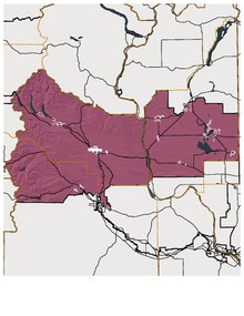
아조 산맥
Ajo Range| 아조 산맥 | |
|---|---|
| 최고점 | |
| 피크 | 아조 산 |
| 표고 | 1,466m(4,460ft) |
| 지리 | |
| 나라 | 미국 |
| 주 | 애리조나 주 |
| 구 | 피마 현 |
| 범위 좌표 | 31°59′3″n 112°39′11″w/31.98417°N 112.65306°W좌표: 31°59′3″N 112°39′11″W / 31.98417°N 112.65306°W/ |
| 토포 지도 | USGS |

참조
- ^ a b "Ajo Range". Geographic Names Information System. United States Geological Survey. Retrieved 2009-05-04.