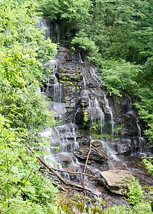
이나빗 산
Mount Inabnit| 이나빗 산 | |
|---|---|
  이나빗 산 몬태나 주의 소재지  이나빗 산 미국 내 소재지 | |
| 최고점 | |
| 승진 | 11,931 피트 (3,637 m)[1] |
| 튀다 | 486 피트 (160 m)[1] |
| 좌표 | 45°07′47§ N 109°37′54″w/45.12972°N 109.63167°W좌표: 45°07°47°N 109°37°54°W / 45.12972°N 109.63167°W / [2] |
| 지리 | |
| 위치 | 미국 몬태나 주 카본 카운티 |
| 부모 범위 | 비투스 산맥 |
| 토포 맵 | USGS 알파인 |
이나브니트 산은 미국 [3]몬태나 주에 있는 비투스 산맥에 있습니다.그 봉우리는 커스터 국유림의 압사로카-바투스 황무지에 있다.
레퍼런스
- ^ a b "Mount Inabnit, Montana". Peakbagger.com. Retrieved October 31, 2016.
- ^ "Mount Inabnit". Geographic Names Information System. United States Geological Survey, United States Department of the Interior. Retrieved October 31, 2016.
- ^ Alpine, MT (Map). TopoQwest (United States Geological Survey Maps). Retrieved October 31, 2016.